Las Cascadas

Boutique Hotel

+1-888-695-7583

Quepos, Costa Rica

The History of Quepos, Costa Rica

From the Quepoa who dived these waters for pearls, through a banana port and a palm harvest, to the national park and the marina. Five centuries of a town that keeps becoming something else.

Where the rainforest meets the sea

Quepos sits on a sheltered inlet on the Pacific coast of Costa Rica, in the province of Puntarenas, where steep green hills come down to the water and stop. It is a small town with a working harbour, and it has spent five hundred years being several completely different places.

It has been an indigenous chiefdom that traded pearls, a Spanish encomienda, a company banana port with its own railway and hospital, a palm oil town, and now the gateway to the most visited national park in the country. The canton around it has been called Quepos since 2015, when it took back the name of the people who were here first.
A note on sources. This page is about a town rather than about us, so nothing on it rests on our own say-so. The dates, the names and the counts were checked against published sources.

The people the town is named for

The name comes from the Quepoa, also written Quepo, and said kay-po-uh. They were an indigenous people of Costa Rica's Pacific south, one of the chiefdoms related to the Boruca, or Brunka, whose territory ran from here toward what is now Panama. Their wider relations reach south to the Muisca of Colombia rather than north.

They lived by fishing, hunting and farming, and they dived for pearls. The oyster beds were deep, and a diver went down holding a stone against his chest to sink fast. Their villages were built of cane and thatch, in round houses, and they had a reputation among the Spanish for fighting hard.

The stone traps on the Manuel Antonio shore

Along the coast at Manuel Antonio the Quepoa built circular stone pens to catch sea turtles, walling off a piece of the shallows so that a turtle carried in on the tide could not get back out on the ebb. The traps are documented both archaeologically and in survey work, and low tide still uncovers stretches of them.

It is the most direct thing left of them. The people themselves did not survive contact: concentrated into a settlement under the encomienda, they went from roughly a thousand in 1569 to about two hundred and fifty by 1600 and eighteen by 1659. In 1746 the last of them were moved to Boruca, and the Quepoa ceased to exist as a distinct people. The town kept the name.

Five centuries, in order

Every date below was checked against a published source. Where two accounts disagreed, the published one won.

  1. 1519

    A ship stands off and keeps going

    Hernan Ponce de Leon scouts this coast by sea and sails into the bay. He finds a shoreline of armed Quepoa and does not attempt to land. It is the first recorded European sight of the place, and it is not a landing.

  2. 1563

    San Bernardino de Quepo

    The expedition led by Juan Vazquez de Coronado settles the area and founds San Bernardino de Quepo. The Quepoa are gathered into it under the encomienda system.

  3. 1569

    About a thousand people

    The corregimiento is created. Roughly a thousand Quepoa are living in the settlement. It is the last time they are counted in the thousands.

  4. 1746

    The end of the Quepoa

    After a century and a half of disease and forced resettlement, the survivors are moved to Boruca and absorbed. The people the town is named after are gone; the name stays on the map.

  5. 1926

    The first bananas ship out

    Agathon Lutz, who began planting in the early 1920s, starts shipping fruit. The trade that will build the modern town is under way before the big company arrives.

  6. 1934

    United Fruit buys in

    The United Fruit Company, through its Costa Rican banana subsidiary, buys out the Pirris operation and takes over the region at a different scale entirely.

  7. 1938

    Quepos becomes a port

    Quepos opens as a banana port, alongside Golfito. A dock, a railway and a road network are built to move fruit off more than fourteen thousand hectares of plantation, with the tracks running along the waterfront to the pier.

  8. 1940

    A company town

    The company hospital opens, a year after the new dock. For two decades Quepos is what a fruit company decides it is: housing, wages, rails and a schedule of ships.

  9. 1947

    The soil runs out

    Panama disease exhausts the reserve banana land of the Quepos division. There is nowhere left to move the plantations to, which is how the disease had been managed everywhere else.

  10. 1954 to 1956

    Floods, and then nothing

    Heavy flooding in 1954 and 1955 wrecks what the disease had left. By 1956 banana exports from Quepos have stopped altogether, and the crop that built the town is finished here.

  11. The 1970s

    African palm, and a quiet port

    The plantations are replanted with African oil palm, which is what most of the flat land between here and the mountains still grows. Palm oil travels by tanker truck rather than by ship, so the port that bananas built goes quiet.

  12. 1972

    The national park

    Manuel Antonio National Park is created, after local people push to stop the coast being sold off and built on. It is a community initiative before it is a government one, and it is the decision the town now lives on.

  13. 1991

    A fish that stood for twenty years

    A 57 pound black snook was taken at the Rio Naranjo in August. It held the world record for more than twenty years before it was beaten, and it is a large part of how Quepos got its reputation with anglers.

  14. 2011

    Forbes names the park

    Forbes lists Manuel Antonio among the twelve most beautiful national parks in the world. It is one of the smallest parks in Costa Rica and, by then, the busiest.

  15. 2015

    The canton is called Quepos again

    In February the Legislative Assembly changes the canton's name from Aguirre back to Quepos, restoring the name of the people who were here first. It had been Aguirre since the canton was created in 1948.
The banana port, and why it ended

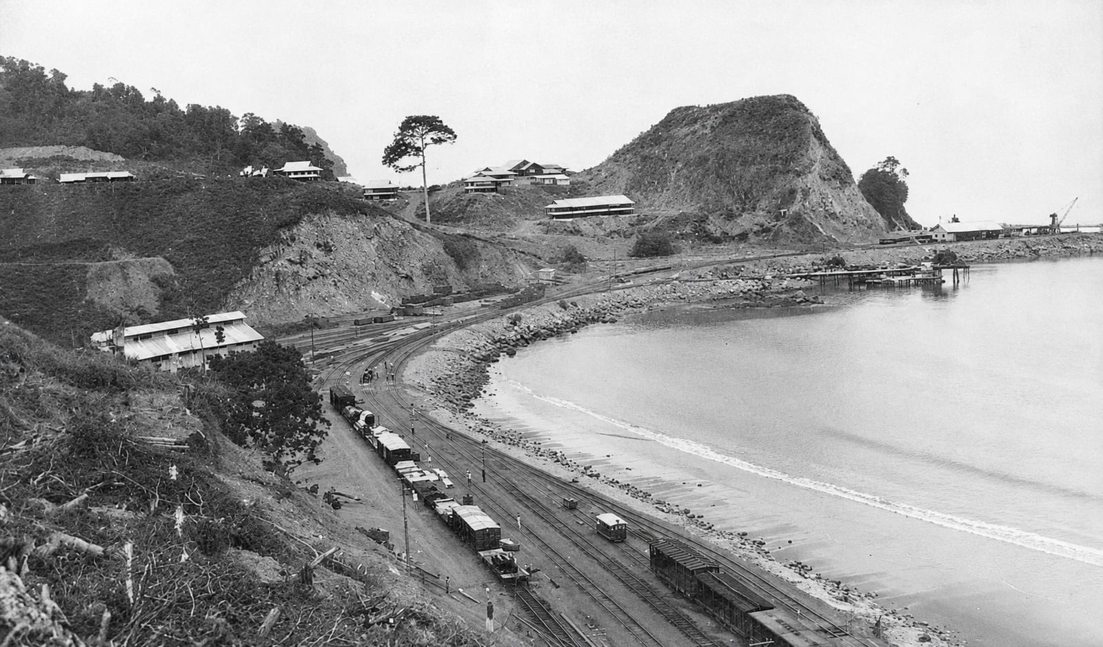
For about twenty years Quepos was a fruit company's town. United Fruit arrived in 1934, and by 1938 there was a dock, a railway and a road system built for one purpose: getting bananas off more than fourteen thousand hectares of plantation and onto ships. The rails ran the length of the waterfront and stopped at the pier. The company built the hospital too, which opened in 1940.

Downtown Quepos is younger than the port, and it stands on filled ground. A resident who came through before 1938 remembered the whole of it as a huge mangrove with nothing built on it; United Fruit cleared that ground, brought in landfill and began laying out the town that is there today, while the company's own quarters stood up the hill in the Zona Americana. The municipality carried the filling on after Quepos became a district in 1941, hauling ballast in Macedonio Torres's ox carts, and the streets of the centre were laid on what it made.

It ended faster than it began. Panama disease, a soil fungus with no cure, had been moving through Central American banana land for decades, and the usual answer was to abandon the infected ground and plant somewhere new. By 1947 the Quepos division had nowhere new left. Floods in 1954 and 1955 finished the plantations that remained, and in 1956 the banana exports stopped for good.

What replaced them was African oil palm, which tolerates the same wet ground and does not care about the fungus. It still covers the flats you drive through on the way in. But palm oil leaves by tanker truck, not by ship, so the port itself lost its reason to exist, and Quepos spent the next twenty years being a much smaller place than it had been.

The town in the company years

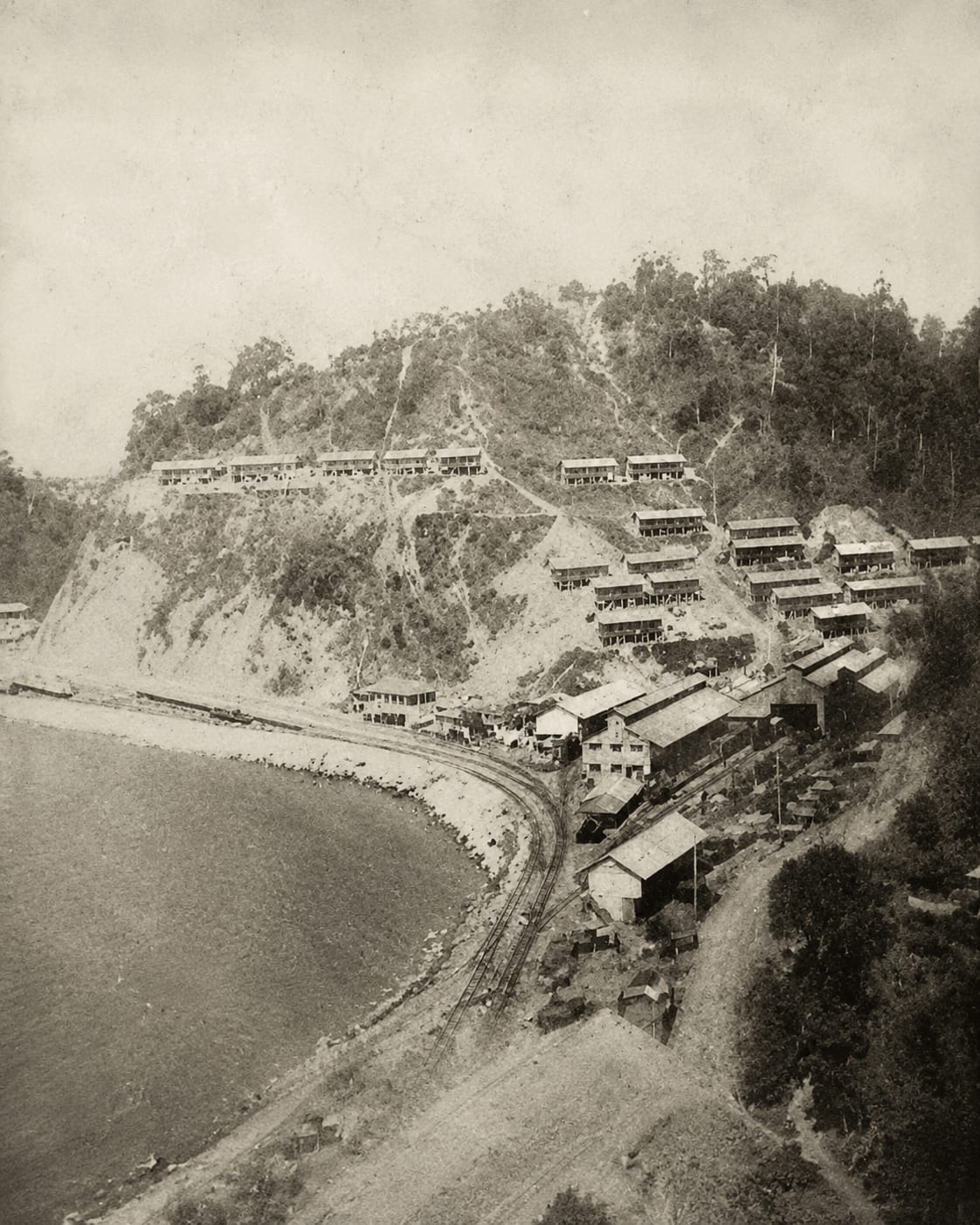
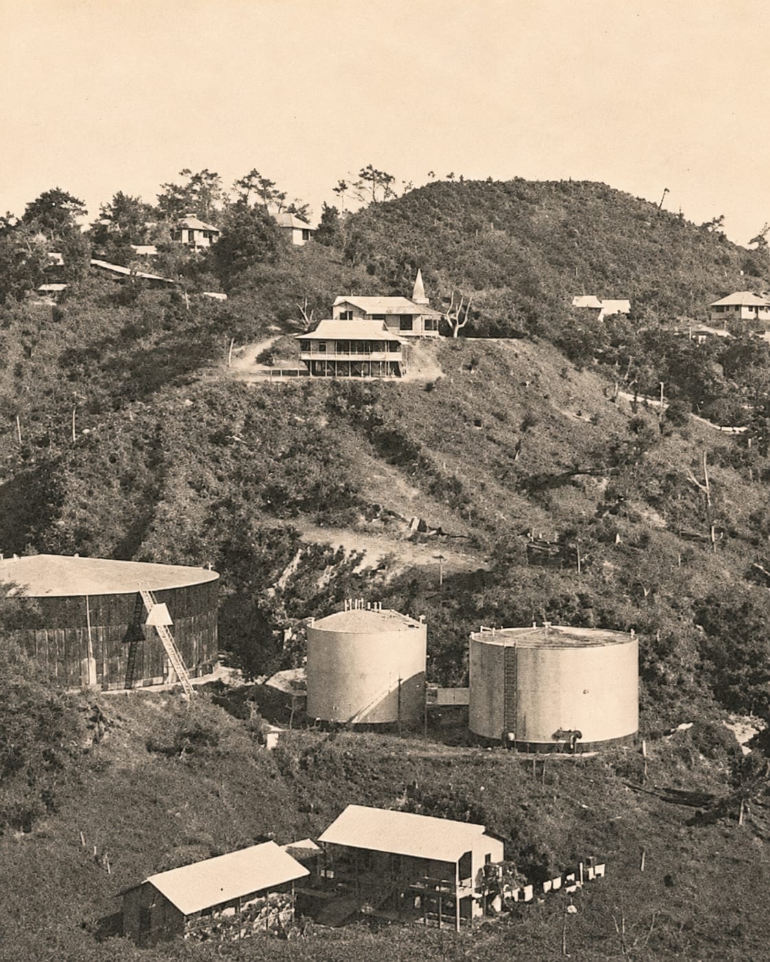
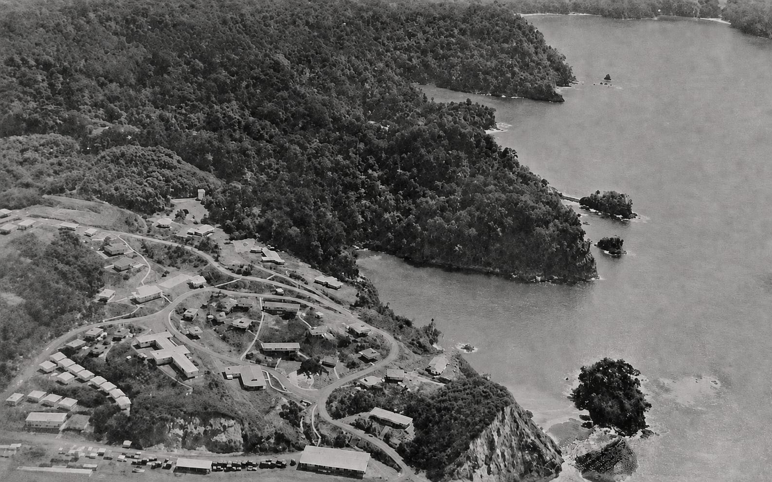
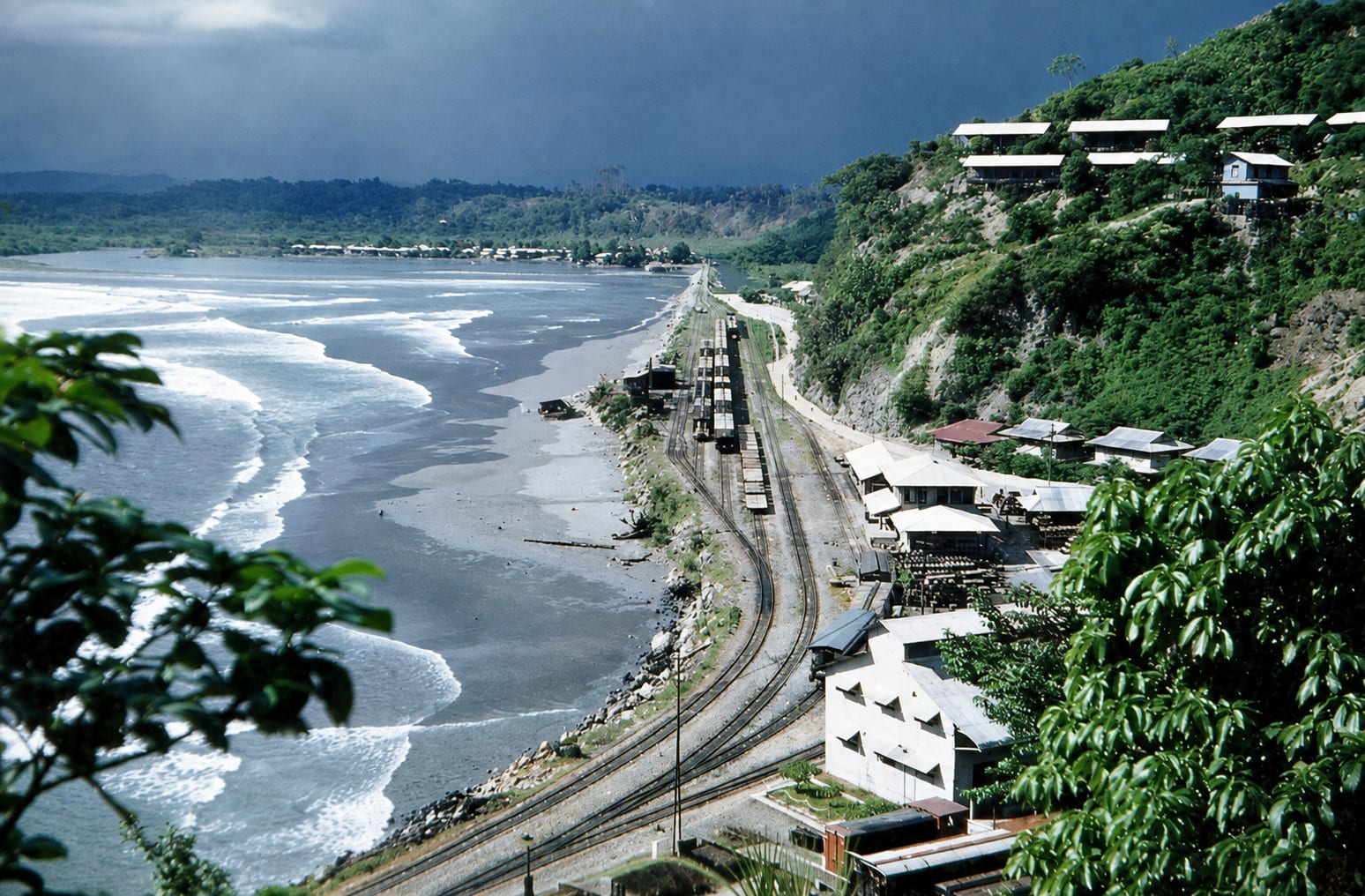
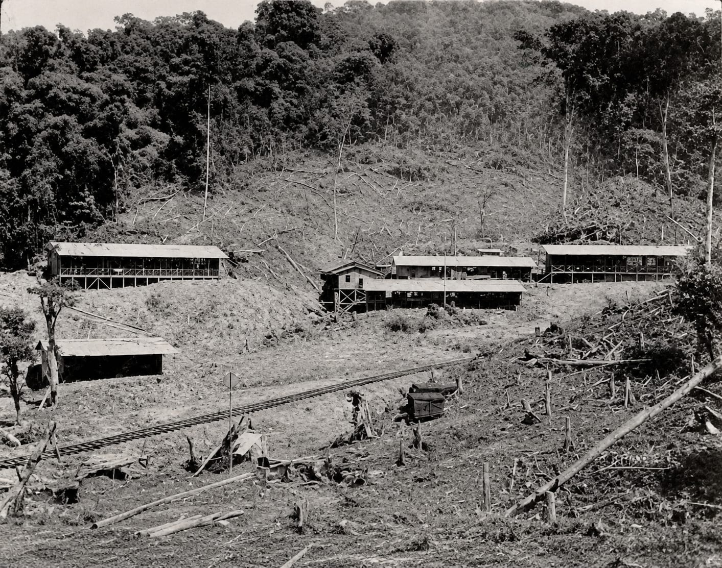
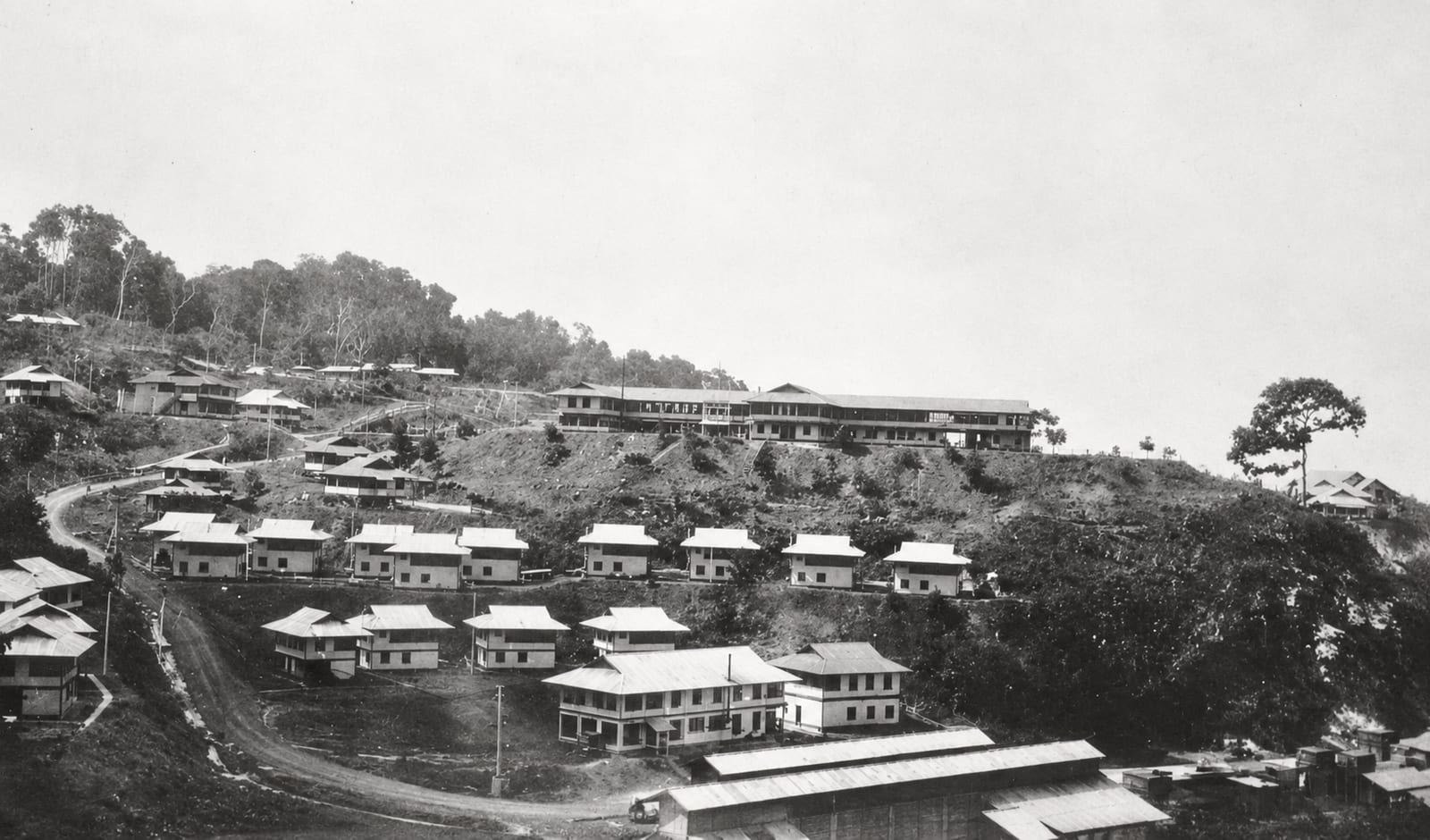
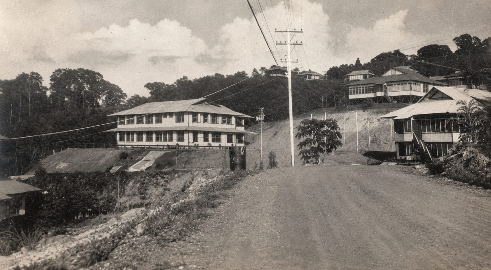
These come out of a collection kept by Personajes de Quepos, a page where people from here post what they have. They are the banana port, before the fruit went and the palm came in. We have put a year on none of them, because the photographs do not carry one.

A black and white photograph of a curving bay, with railway wagons standing on tracks between a steep cleared hillside and the beach, and buildings on the headland beyond
Loaded wagons on the line where it runs between the hillside and the beach.
A black and white photograph of railway track running through newly cleared ground, with long timber sheds on the slope behind it and figures working near the line
Track laid across cleared ground, with the first long sheds behind it.
A black and white photograph of a hillside settlement, rows of small houses below a long two storey building on the ridge, with forest rising behind
Rows of housing below the long building on the ridge.
A sepia photograph of a wide dirt street running between two large two storey wooden buildings, with power lines overhead and more houses on the hill beyond
The wide dirt street between two of the larger buildings.
A sepia photograph of a steep cleared hillside above a curving bay, with rows of buildings stepping down the slope toward the shore
The cleared slope above the bay, the settlement stepping down toward the water.
A sepia photograph of two large cylindrical storage tanks cut into a hillside, with wooden houses on the ridge above them and dense vegetation all around
Storage tanks cut into the hillside below the houses on top of it.
A black and white aerial photograph of a forested headland reaching into calm water, with a settlement of small buildings gathered along the shore at its base
The headland from the air, the settlement gathered at the water's edge.
A colour photograph looking down a green hillside to surf breaking along a curving beach, with a road, a railway line and low buildings running between them
A later frame, in colour: the road and the line still running together along the surf.

Archive photographs from the Personajes de Quepos collection, digitally restored.

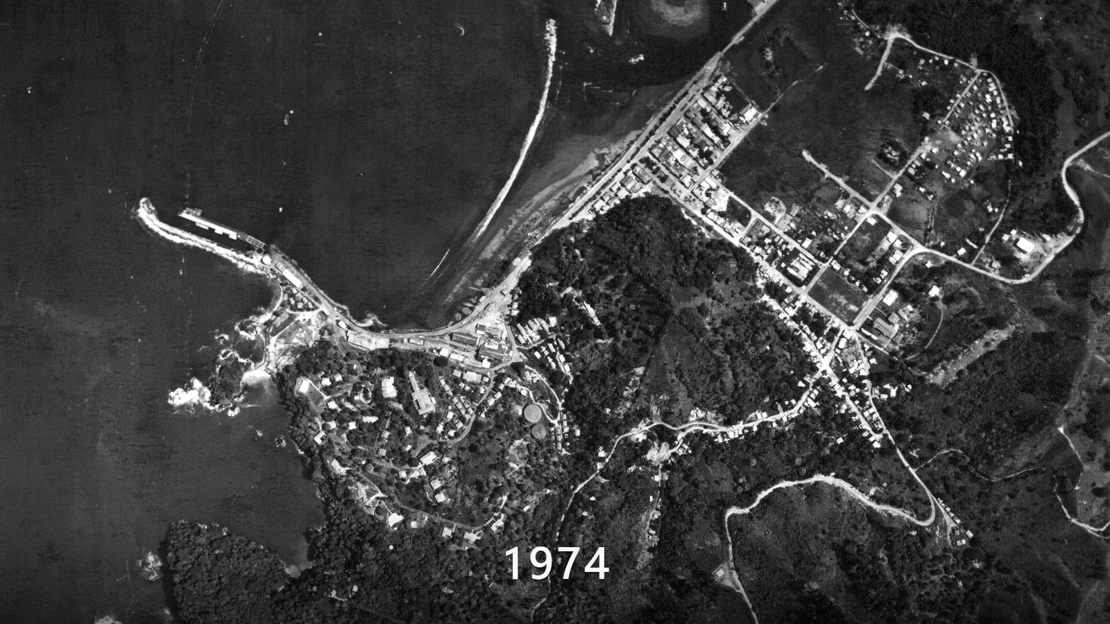
The same coastline, five times over

Five national survey flights over the same stretch of Quepos, a quarter of a century apart. Watch the sand spit move and the streets fill in behind the beach.

The first of the five surveys, flown in 1974: Quepos from directly above in black and white, the town on its headland, the sand spit closing the estuary and a pier reaching into the bay

Two of the five flights used colour infrared film, which is why the forest turns magenta partway through. That is the film, not a fault in the picture.

Aerial surveys of 1974, 1981, 1984, 1992 and 1997 from the Instituto Geográfico Nacional de Costa Rica.

The park that changed everything again

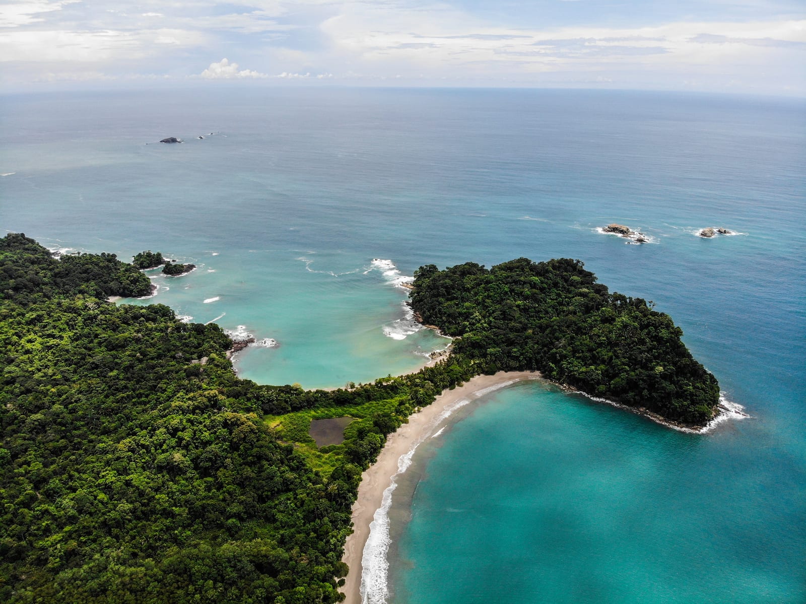
Manuel Antonio National Park was created in 1972 because people here did not want the coast sold and closed off. It is one of the smallest national parks in Costa Rica and the most visited one, which is a difficult combination: entry runs on booked time slots, and the park's opening days do change, so check them before you build a day around it.

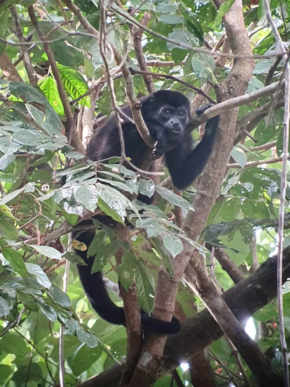
Inside it there are 109 species of mammal and 184 of bird in a few square kilometres. Both the two-toed and the three-toed sloth are here, along with three monkeys: the mantled howler, the white-faced capuchin, and the squirrel monkey, which is endangered and which lives in this one strip of coast and almost nowhere else. There are spiny-tailed iguanas and green iguanas, basilisks that run across water, and white-nosed coatis that will go through a bag if you put it down. Toucans, motmots, woodpeckers and tanagers are all common. Dolphins are regular offshore, and humpbacks pass through on migration.

Playa Manuel Antonio and Playa Espadilla Sur are joined by a tombolo, a low neck of sand built up between the mainland and what used to be an island, and the headland it leads to is Punta Catedral. In 2011 Forbes put the park on a list of the twelve most beautiful in the world.

1972
Created, after a local campaign
109
Species of mammal
184
Species of bird
A black howler monkey high in a tree, upright and gripping a branch with one hand, its long tail hanging down through the leaves below it

How a banana port became a fishing town

The third reinvention is the one still going on. The same sheltered water that suited a fruit dock suits boats, and the drop-off is close enough to shore that a charter can be fishing within the hour. Anglers had been coming since the 1960s, when the town filled up with an unlikely mix of sport fishing captains, surfers and people who had left the United States for their own reasons.

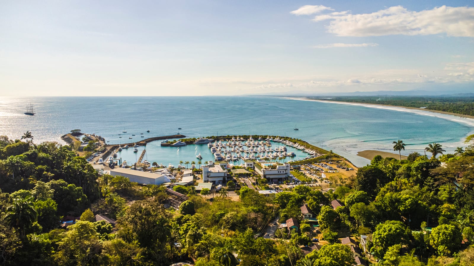
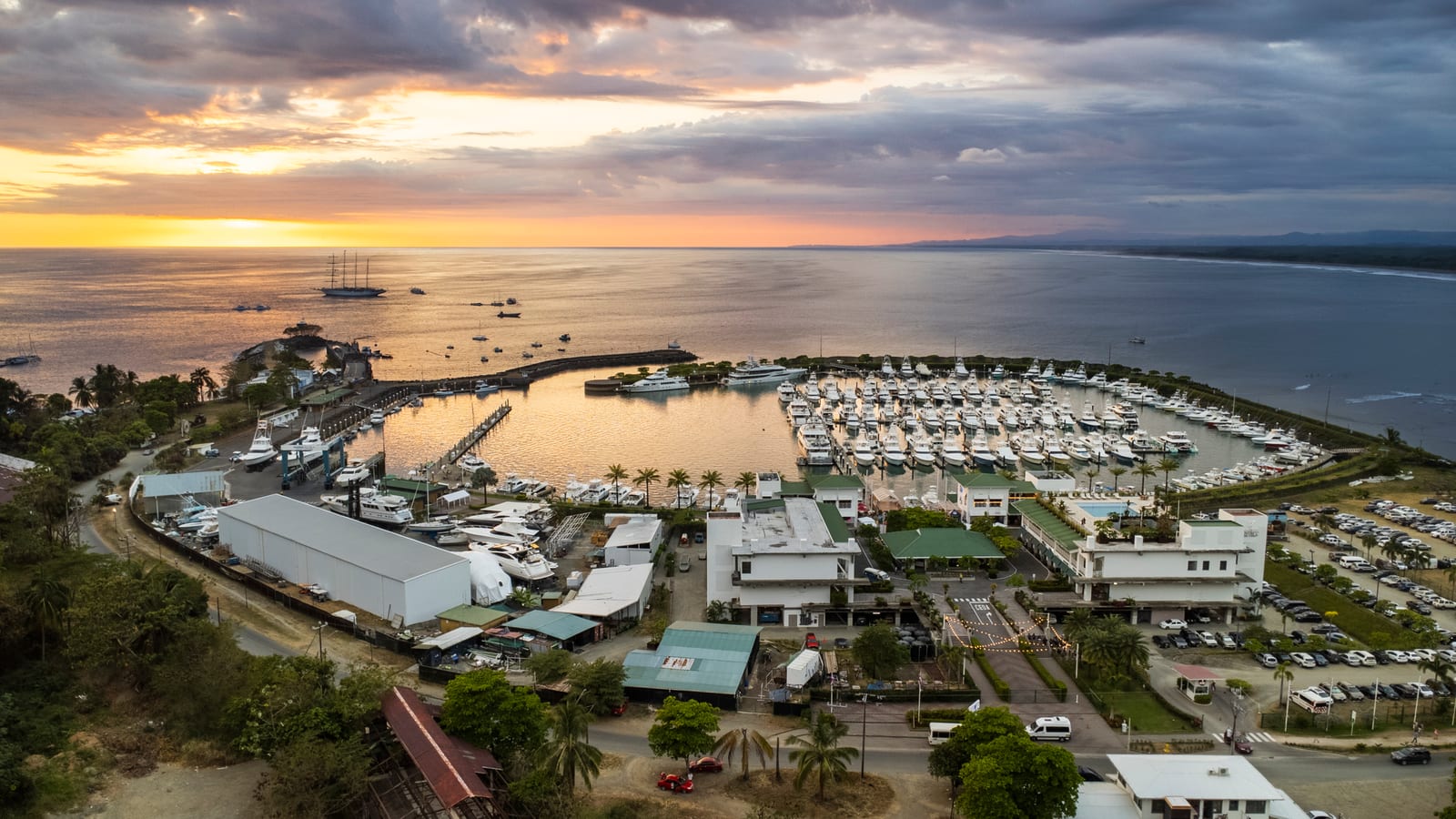
Marina Pez Vela was built on the old port waterfront and opened in stages from 2010, and it is what turned an informal fleet into an industry: dockage for a couple of hundred boats, fuel, restaurants and a tournament calendar. The same water in the photograph above was dived for pearls, then loaded with bananas, and now holds a marina.

Marina Pez Vela from above, its docks full of sportfishing boats behind a curved breakwater, with the beach and the coastline running north beyond it
Marina Pez Vela today, on the waterfront the banana trade built.

What runs, and when

Seasons for the fish taken off Quepos.
Fish Season
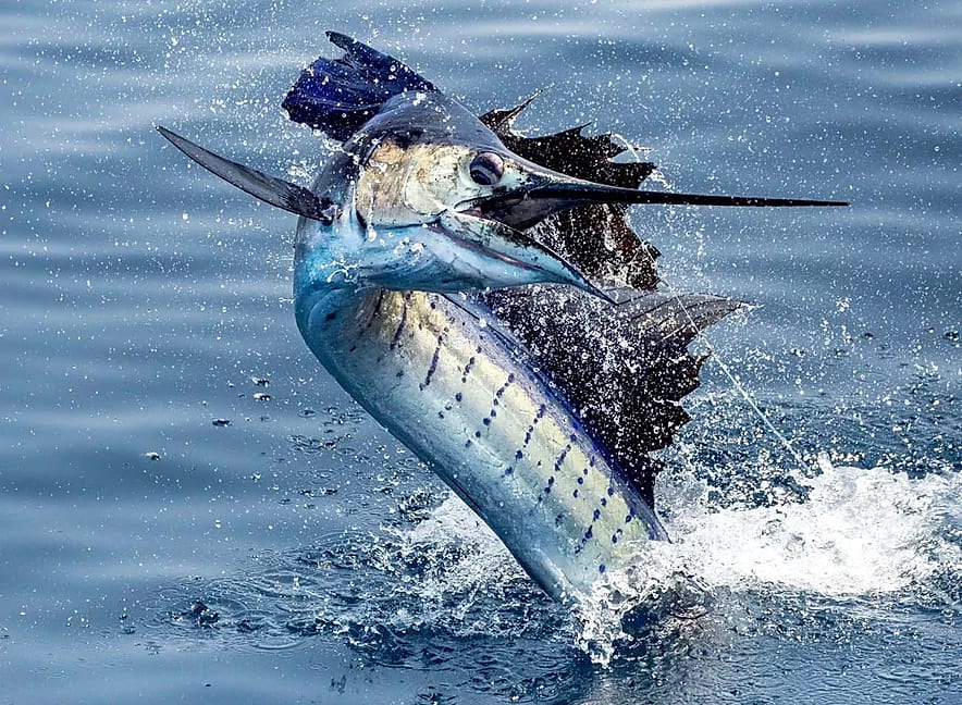
Sailfish Most abundant November to April, around in smaller numbers the rest of the year
Marlin September to November
Dorado Late May through October, and caught throughout the year
Yellowfin tuna Through the marlin and sailfish months; small tuna year round
Roosterfish Year round
Wahoo Year round
Snapper Year round
Snook March to May, and September to November

Where we come into it

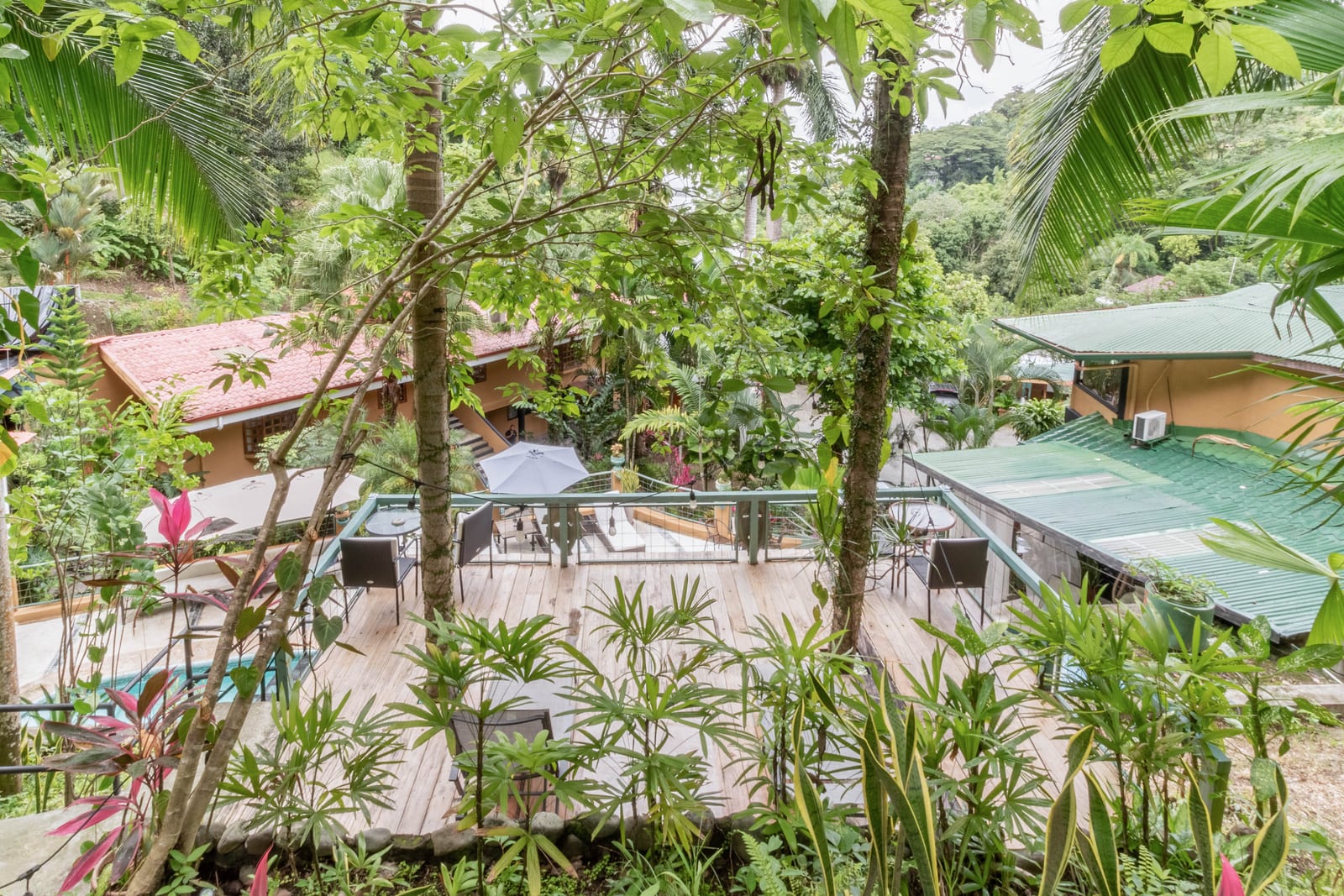
Gary and Catalina Rogers built Las Cascadas on this hillside in 1994, which was after the park and well before the marina. From up here you could watch the second of those arrive: the breakwater going in, the boats coming, the town turning back toward the water it had turned away from in 1956.

It is a small place with a long memory, and most of what makes it worth a week is a direct result of something on this page. The park is why the forest at the end of the road is still forest. The palm plantations are why the drive in looks the way it does. The marina is why there is a fleet, and restaurants, and a reason to be down at the water in the evening. Our family has been here for two of those chapters and we are glad to point you at any of it.